Owen had a business trip, and we also needed to make a quick trip home, so the boat spent more time in Savannah than we did. Important note: it’s hard to get an Uber or Lyft for an airport ride at 6 am, even if you schedule it the night before. Use a car service.
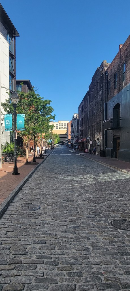
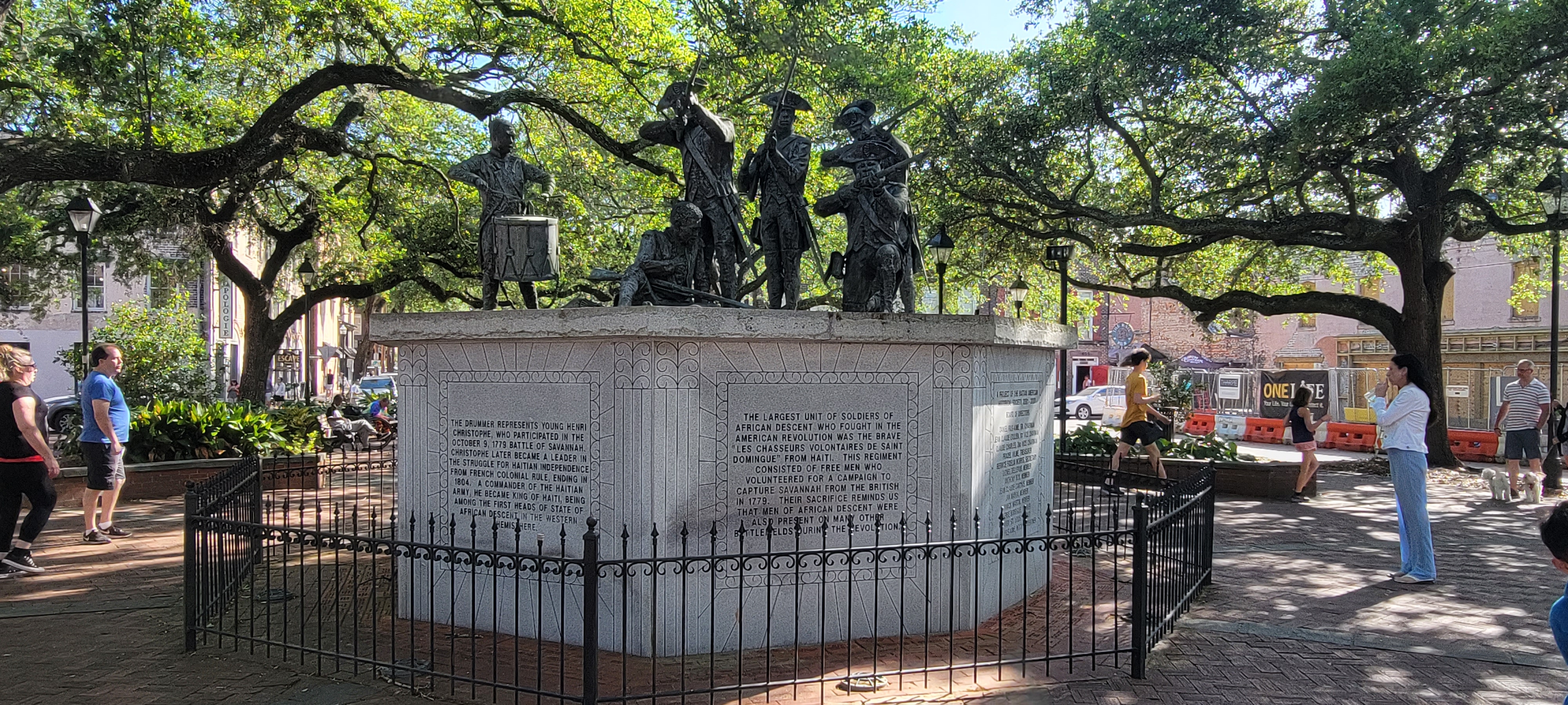
On our last night in Savannah, we Ubered into town and meandered through the city to get as much in as we could. We walked along the riverfront and along St. Julian Street, where Owen had ice cream and I had a praline (okay, I had two). With such a short amount of time available, we thought we would try to take a city tour. The only one available in the evening was a ghost tour. So we did a ghost tour. Not really our thing, but it was fun. We had a late dinner at the Shrimp Factory.
After dinner, we had our Uber drop us off at the Kroger that was 1.8 miles from the marina. The store closed at 11, and it was 10:40 pm when we got there. So we looked like we were playing Supermarket Sweep as we dashed through the aisles to pick up groceries for the next week. We did not win any prizes.
We did, however, get to carry our groceries the 1.8 miles back to the marina at 11:00 at night. There were no sidewalks, so that was fun.
Actually, it wasn’t bad, and we tend to have fun even with the ordinary, so we will call it a good day.
The next day, it was time to move on. We waited for high tide because there were a few shallow areas we wanted to avoid. As soon as we left the marina, we encountered a bridge that was 20 feet tall. Piece of cake! With our antenna down, we are at about 18′. Owen was a little nervous because none of those measurements is exact. I went to the front of the boat and watched as we went under so I could give Owen a reasonable measurement of how much space we have under a 20′ bridge. The helm went under, no problem, with a good 2 feet to spare. Then, DOINK! Our internet antenna was up and clipped the bottom of the bridge. Thankfully, that antenna is flexible and undamageable. So, we can make it under a 20′ bridge, but we’ll make a little noise while we do it.


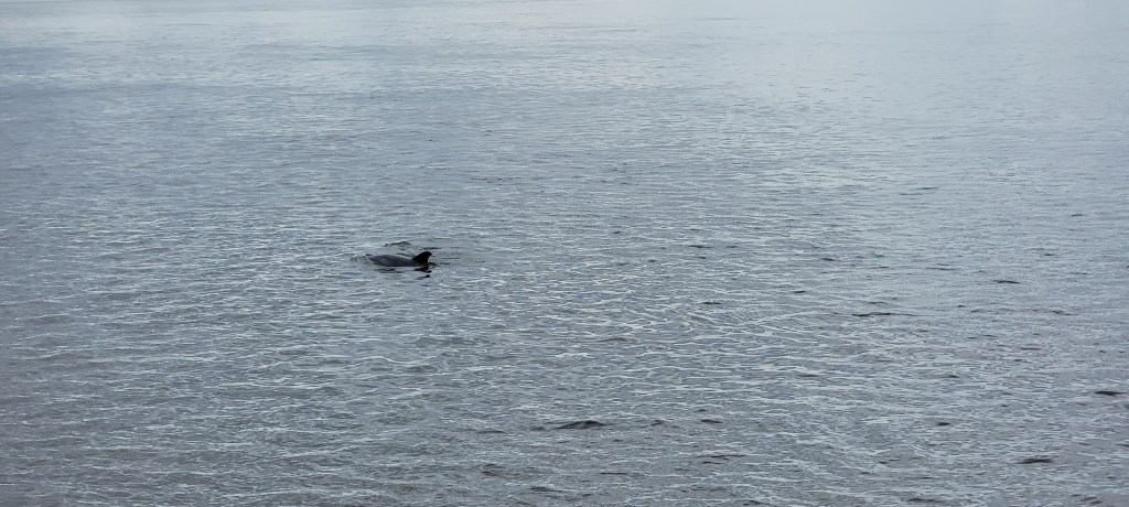
Once again, we saw plenty of dolphins along the way. We soak up every time we see them, because we don’t know how far north they swim!
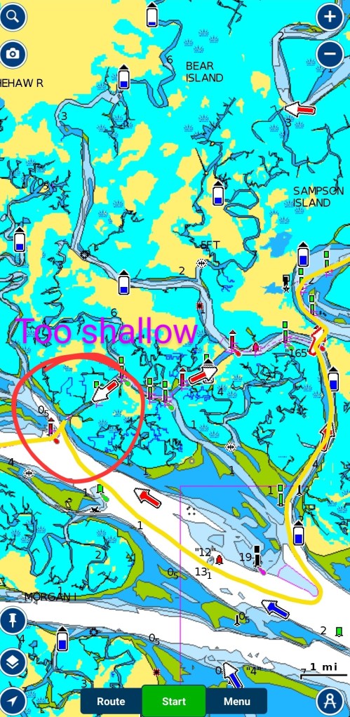
We use a lot of resources when we plan our routes. Navionics is our first tool. We enter our destination, and it plans a route for us using parameters we enter. Our Garmin navigation system also provides a route for us. We use route lines created by “Bob423,” who shows us up-to-date routes that avoid shoaling or shallow spots. We follow Facebook groups and internet forums of people who have done this route as recently as yesterday. We have Waterway Guides and Skipper Bob’s books. And we watch tide tables and weather and other stuff to keep us safe.
Our Garmin doesn’t like the ICW very much, so when we enter a destination there, it finds the nearest outlet to the Atlantic Ocean and then takes us in the inlet nearest our destination. This time, Navionics and Bob423 gave us the same route along the ICW.
Our problem was that by this time, we were at low tide, and the already skinny channel we were to use was now even skinnier. After we crossed the Coosaw River and were prepared to enter the ICW channel, the depth finders found no depth and warned us. We quickly went from 6′ to 2.8′ (!!!!!!!!!). We know that we have an additional 2′ more than what our depth finder says we do, but 2.8′ is cutting it a little too close.
Do you know what doesn’t help in this situation? Telling the captain that the props are churning up mud.
Owen handled the situation perfectly, backing out and getting us into deeper water so we could contemplate our next steps. Well, that went extraordinarily well, actually, because RIGHT NEXT TO THE ICW that is supposed to be maintained at a decent depth is another channel that is WIDER AND DEEPER! I mean, I don’t claim to be an expert, but perhaps the powers that be should consider using that channel instead.
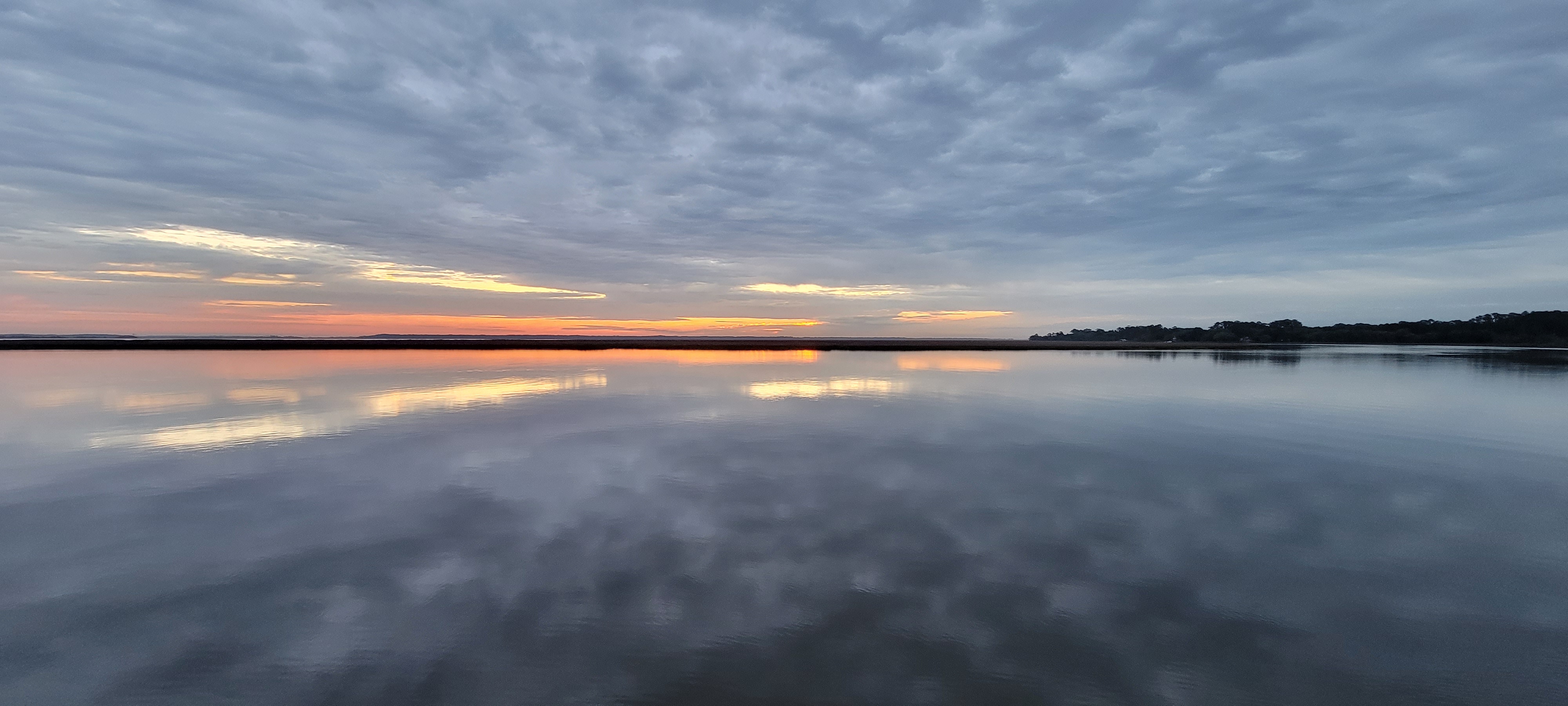
That potential crisis averted, we continued on our way to an anchorage at Steamboat Creek. We turned into the creek and went past the oyster farm. There was a sailboat in the large anchorage already, and we went far enough away to have our own private spot to drop the anchor.
Dolphins swam around us, and bugs swarmed our heads as we watched the sunset. Another gorgeous end to a wonderful day.