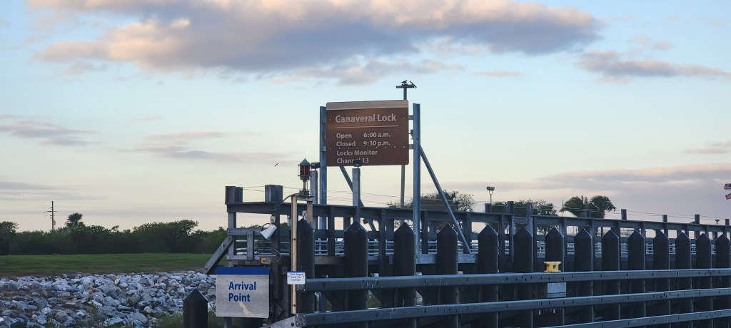
With the weather clear, it was time to keep heading north. Perhaps it is a good time to explain how we pick our next stop. It’s both complicated and easy.
Once we decide that we have the weather and time to sail, we figure out our desired range for the day. The range is determined by our desired speed (usually 10 mph), how much daylight we have, and what time we want to leave. Then we factor in other conditions like anticipated no-wake zones, bridges that will have to open for us, locks, etc.
Once we have our range, we look for a stop. If the weather will be crummy or we plan to stop for a while, we pick a marina and get a reservation. This often takes place days in advance, but not always. If we plan to anchor, then we look for a good anchorage at the target distance for the day. We use ActiveCaptain, Waterway Guide, Skipper Bob’s, and whatever other resources we have for the area we are in. Once we pick an anchorage, we choose an alternate and sometimes a second alternate. Sometimes anchorages are full or the wind direction makes it undesirable. Then we set sail!
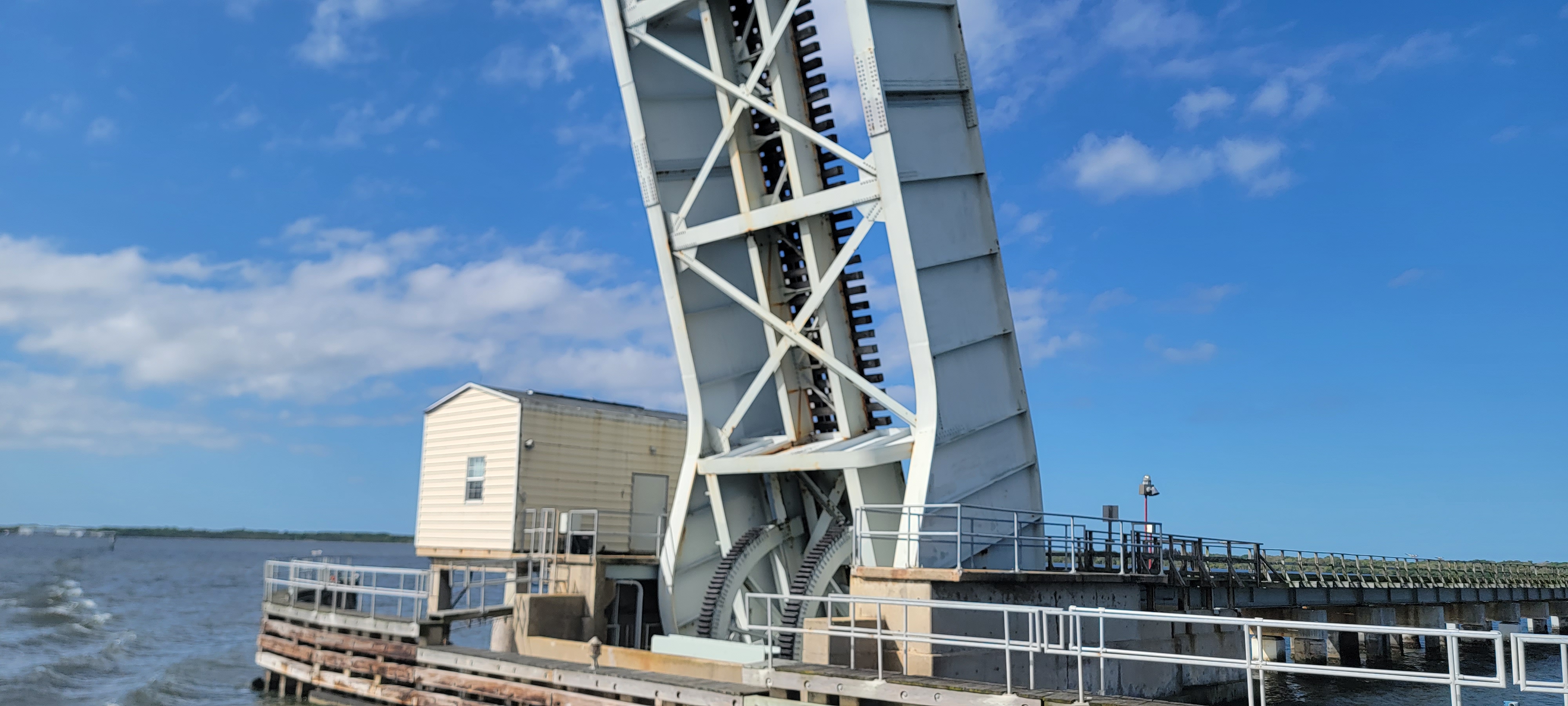
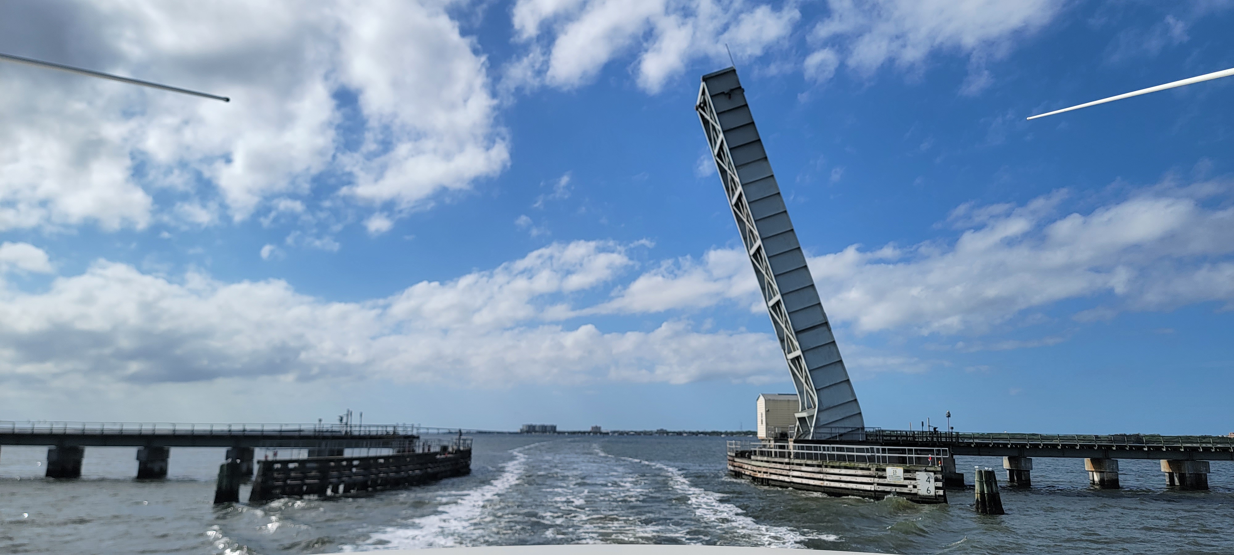
This time, we knew we could make it between 50 and 70 miles. The wild cards were the NASA railroad bridge, which we could not get through if it was down, and a couple of lengthy no wake zones. On this stretch of the ICW, good anchorages are scarce for a boat with a 4’6″ draft. The best candidate was the Callilisa Creek anchorage just to the south of the bridge in New Smyrna Beach. It was about 55 miles and there weren’t many options after it. We picked a backup and away we went!
We got out of our slip without any issues and backtracked under the bridge, through the lock, through the barge canal, and back into the ICW. As we exited the barge canal, we must have seen 100 dolphins. They were everywhere.
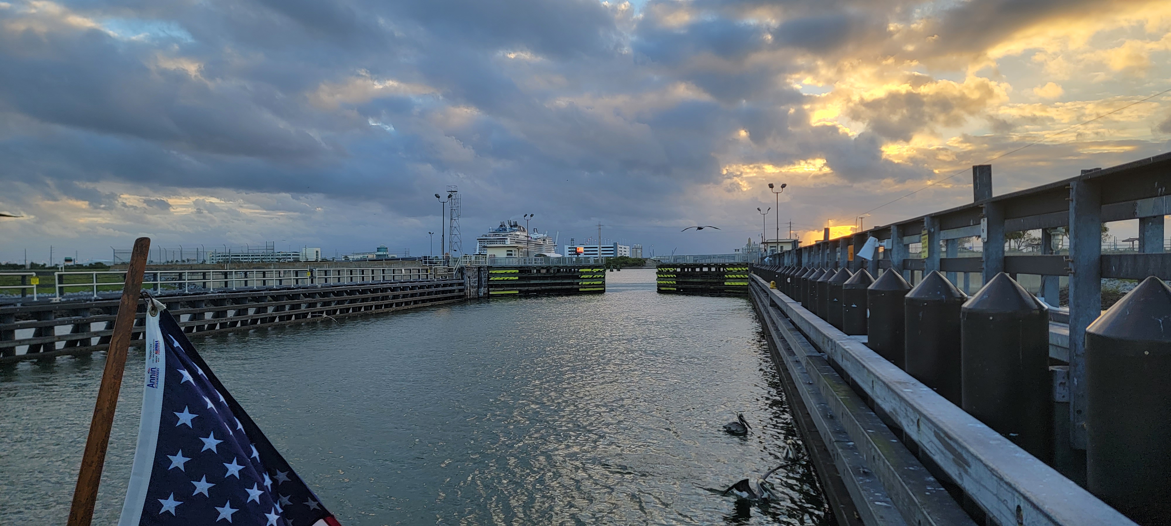
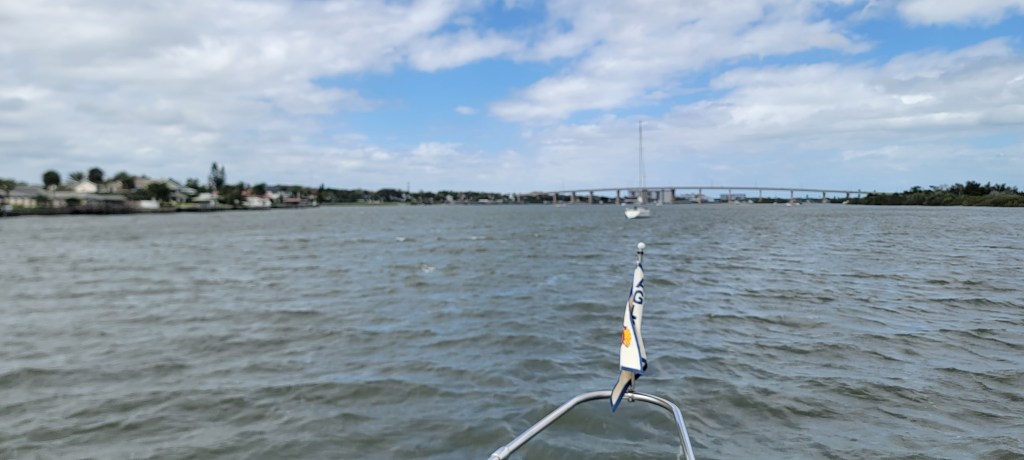
We turned north on the ICW and cruised without incident. All the while, the VAB and launch towers could be seen in the distance. It was a sad moment when they finally fell below the horizon. Sailing past Titusville, the railroad bridge that must have carried thousands of parts, the space center, the spots where so many have watched people leave the planet… so much of our history in space within a few miles.


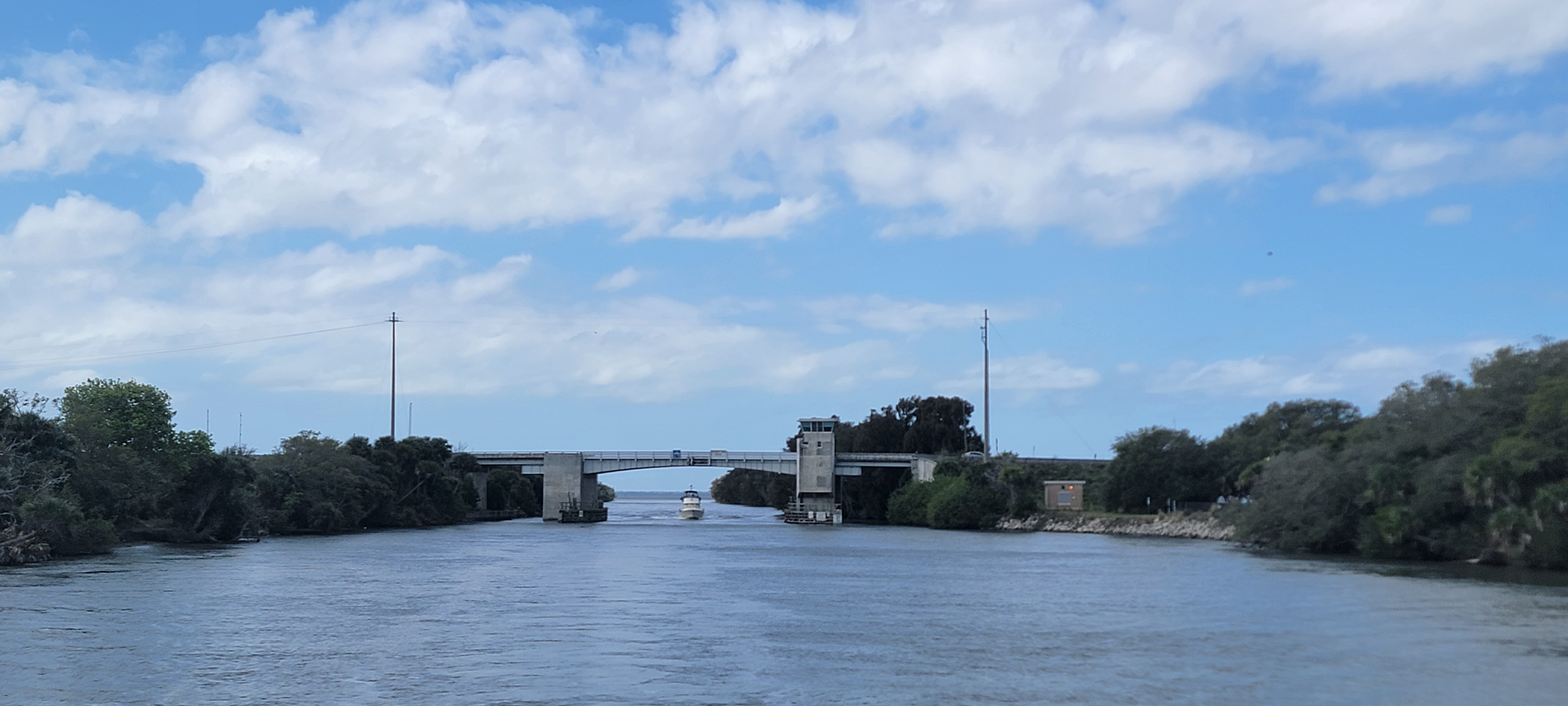
At one point, the ICW makes a hard turn east, through a cut, and back north again. Finally, we found our way to our anchorage.
As we pulled off the ICW and felt our way into the anchorage, there were already several boats there. We pushed a little further north until the depth finders started yelling at us to inform us that the bottom was uncomfortably close. We eased back and set our anchor just northeast of the green 43 market in about 8 feet of water.

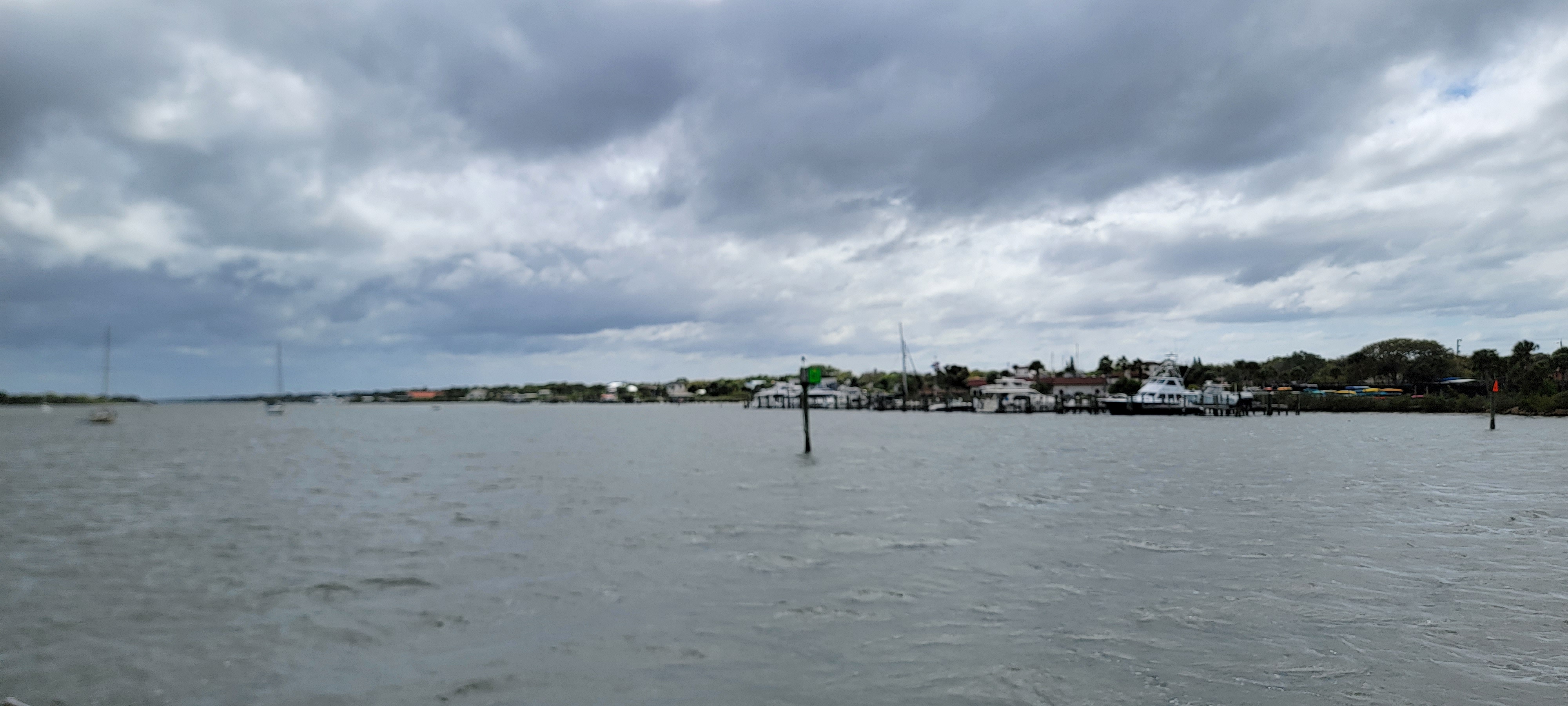
The night was uneventful. Since the anchorage was just off of the ICW, we felt a few wakes, but otherwise it was peaceful. In the morning we were facing the other way with the tide.

Thanks for the enjoyable weekend reads! Nice to catch up with you, although you are still 2 weeks off. I guess that is to be expected from Loopers. As a space geek, have you signed up for your Artemis boarding pass yet? https://www.nasa.gov/send-your-name-with-artemis/ Would be honored to have your name amongst the several of us others who will be traveling via USB and Artemis to the moon….
LikeLike
Yeah, we’re getting there 🙂 And yes I have! More to come on NASA. We spent the day at Kennedy and saw the SLS on the launch pad!
LikeLike